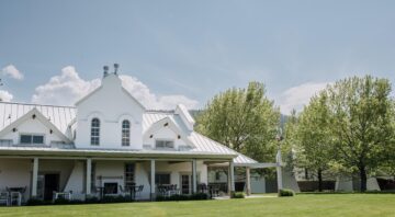
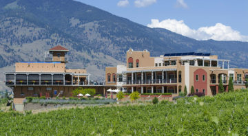
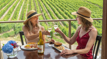
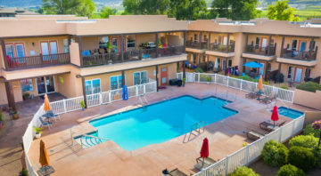
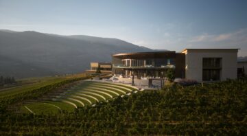
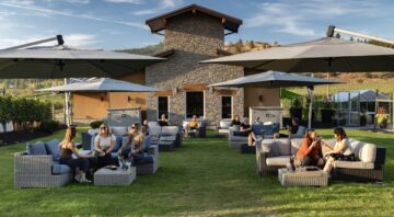
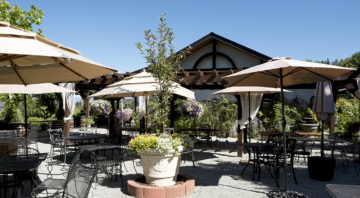
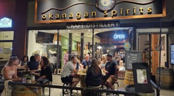
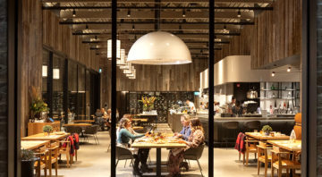
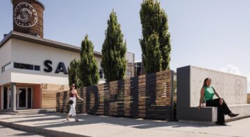
The Place: Where Wine, Food & Nature Collide
Food & Wine Magazine perfectly captures the essence of the Okanagan Valley—a region defined by dramatic contrasts:
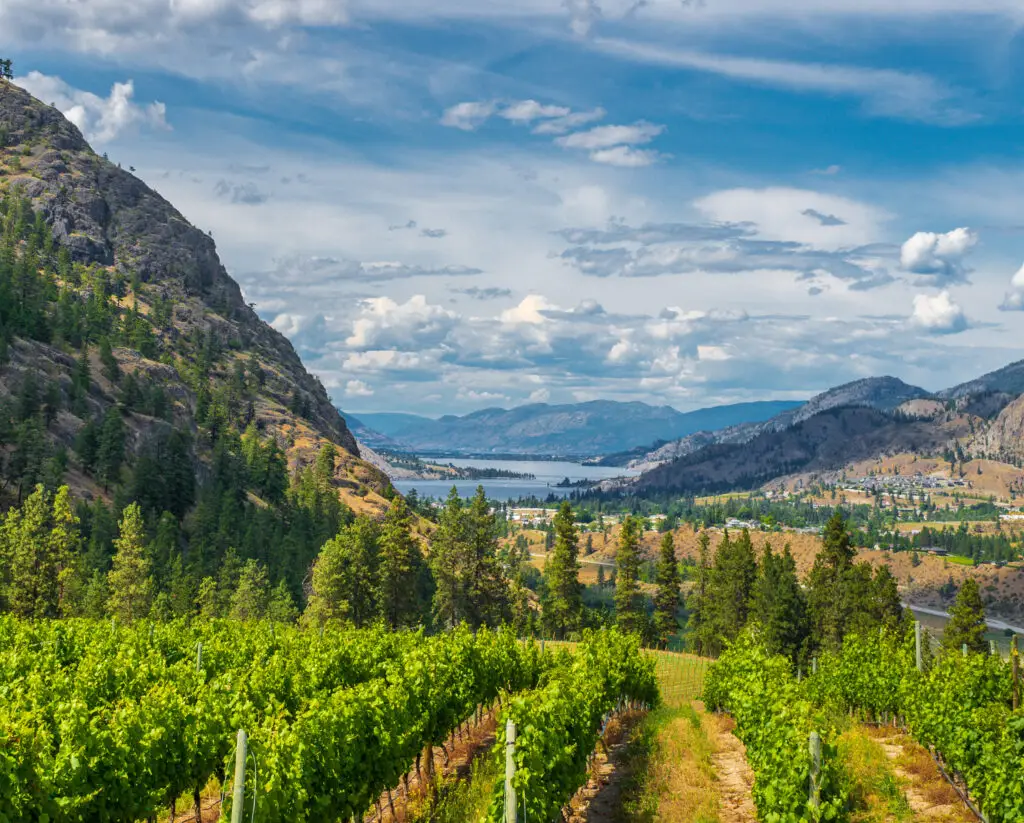
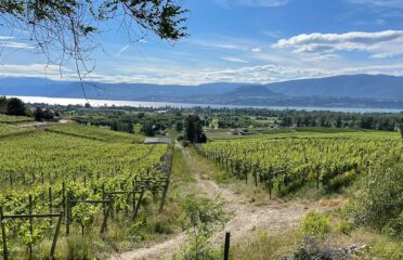
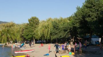
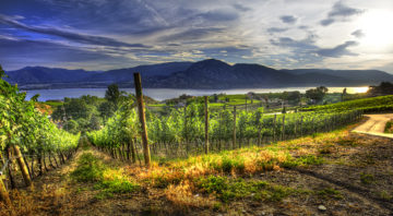
“Formed by glaciers and volcanoes, it’s a destination where lakeside beaches meet bluffs, and steep hillsides striped with vines give way to valley floors speckled with stone-fruit orchards.”
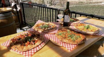
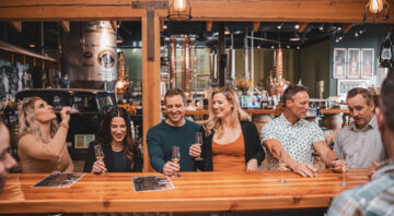
“It’s long been a playground for city dwellers in Vancouver and Calgary… but now, its wineries and farm-to-table restaurants are calling to travelers from all over the world.”
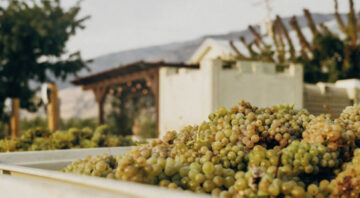
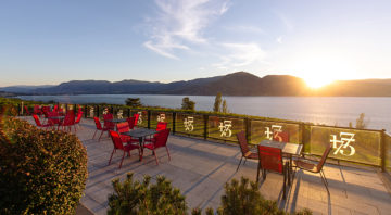
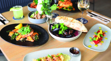
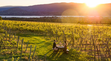
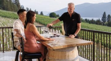
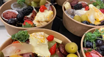
We couldn’t have said it better ourselves. The Okanagan Valley has become a world-class wine tourism destination, offering visitors a rich mix of natural beauty, agricultural abundance, and culinary excellence.
The Route: From North to South via Highway 97
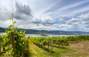
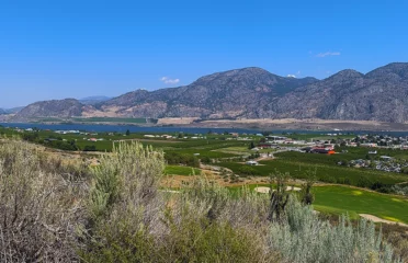
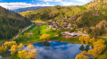
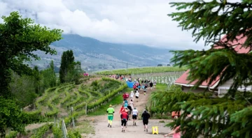
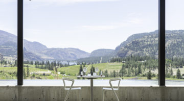
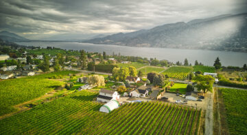
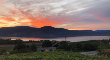
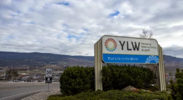
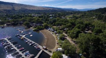
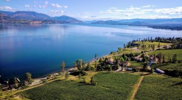
Most visitors begin their journey by flying into Kelowna International Airport. From there, Okanagan Lake, stretching a dramatic 135 kilometres, immediately sets the tone for a journey defined by scenic lake views, vine-covered slopes, and ecological diversity.
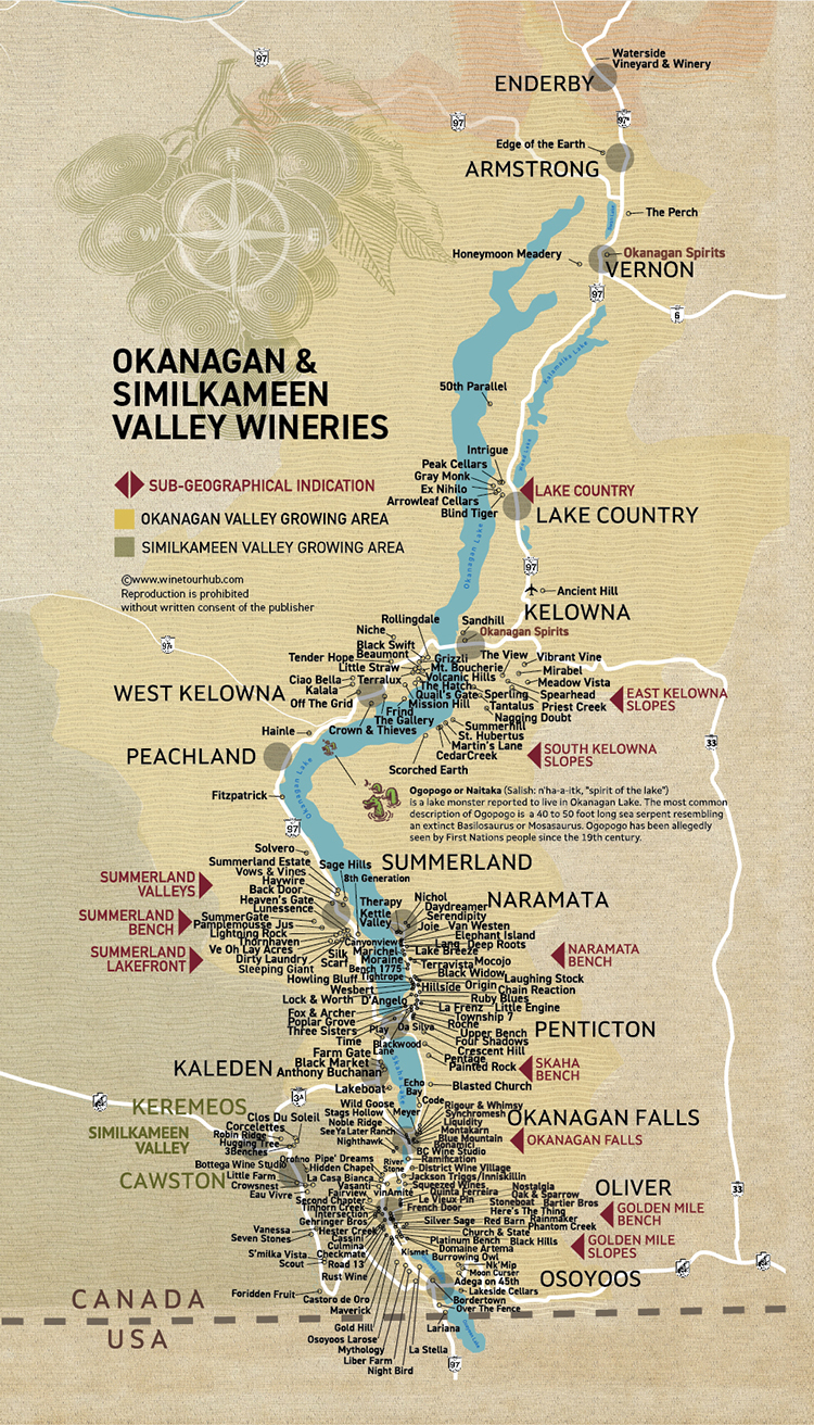
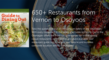
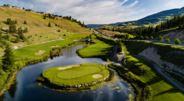
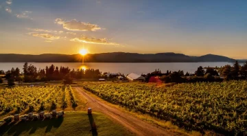
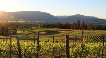
Highway 97 is the region’s main artery, connecting the valley’s wine regions from Vernon in the North Okanagan, through Kelowna and Lake Country in the Central Okanagan, all the way to Osoyoos near the Canada–U.S. border in the South Okanagan.
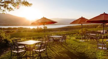
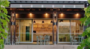
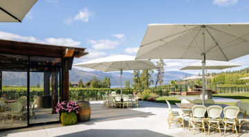
Each stop along this route offers distinct terroir, local food experiences, and memorable wine tasting opportunities.
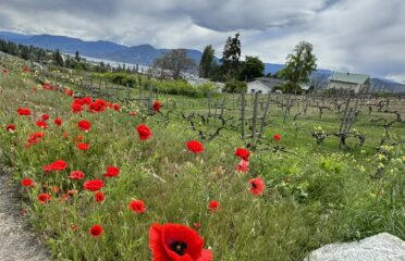
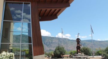
The Land: Indigenous Culture, Climate, and Geography
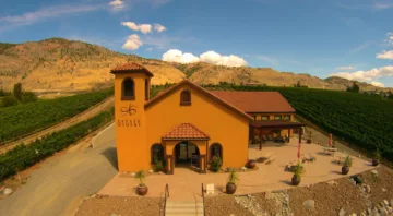
The Okanagan Valley is the largest of British Columbia’s nine Geographical Indications (GIs) and home to 11 of the 12 recognized Sub-GIs, making it the most diverse wine region in the province.
The valley is part of the Okanagan Thompson Indigenous cultural area, home to the Nlaka’pamux, Okanagan (Syilx), and Secwépemc First Nations. Their deep connection to the land is evident in:
• The preservation of desert landscapes
• Stewardship of forests, mountains, and lakes
• The growing importance of Indigenous-owned wineries and cultural tourism experiences
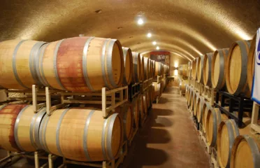
Visitors will find countless ways to engage with Indigenous history, local food systems, and sustainable wine production, which are interwoven into the very fabric of the valley.